

Henry Arthur was allocated lot 8 of some 40,000 acres round the Plenty River, including the lower reaches of Arthur’s Creek…
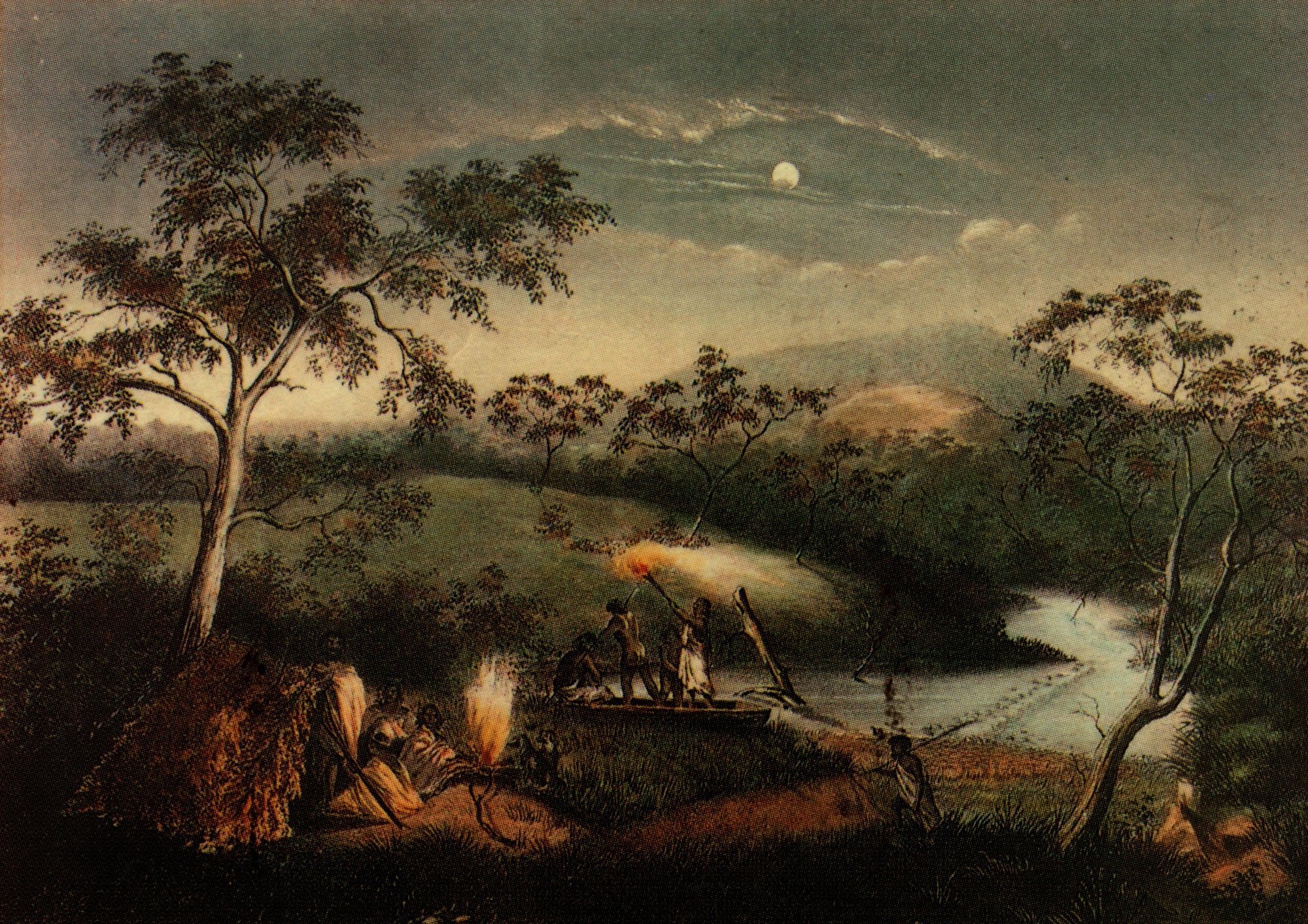
On 9 February 1836, Joseph Tice Gellibrand, a solicitor from Hobart Town and leading member of the Port Phillip Association, set out to explore the northern and eastern sections of land claimed under the ‘Batman Treaty’, which was signed on 6 June 1835. The signing ‘took place alongside of a beautiful stream of water’. The site has variously been claimed to be on the Merri Creek, Edgar’s Creek, Darebin Creek and ‘on the bank of the River Plenty’ near Greensborough. (Gellibrand considered the Plenty as ‘the only stream except the Barwon deserving the name of river.’)
The territory of some 600,000 acres, which Batman claimed to have purchased, comprised two large tracts of land called the ‘Territory of Geelong and Dutigalla’. On 26 August 1835, the Governor of New South Wales, Sir Richard Bourke, issued a proclamation declaring Batman’s treaty with the aborigines to be ‘null and void as against the rights of the Crown’. He did however advocate early official occupation of Port Phillip.
There were 15 members in the Port Phillip Association. The surveyor John Helder Wedge, who made ‘the first rude survey of the country round Port Phillip’, marked out the country for division into seventeen lots, two of which were to be awarded to John Batman. Henry Arthur was allocated lot 8 of some 40,000 acres round the Plenty River, including the lower reaches of Arthurs Creek. From 9 to 13 February 1836, Gellibrand set out to examine the country to the north and north-east of the small settlement on the Yarra bank.
Gellibrand was accompanied by his superintendent Linfield, venture partners Leake and Robertson, and Stewart, one of Batman’s Sydney (Shoalhaven and Jervis Bay) natives. On 12 February 1836, the party ‘came upon a rapid stream of water’ which Gellibrand named the River Plenty. They crossed the river and travelled easterly for ‘about six miles, until we came upon another rapid stream flowing in a southerly direction, and which it was impossible to cross in consequence of the hills and scrub.’ (By my reckoning, a distance of six miles due east of the Plenty would bring the party to the Arthurs Creek somewhere near Nutfield. (The chain of ponds known as Stewart’s Ponds also joins the Arthurs Creek at Nutfield.) Gellibrand’s sketch map of his expedition shows a course of south-east by east leading towards the Diamond Creek.
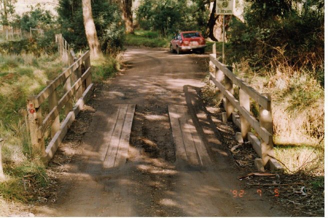
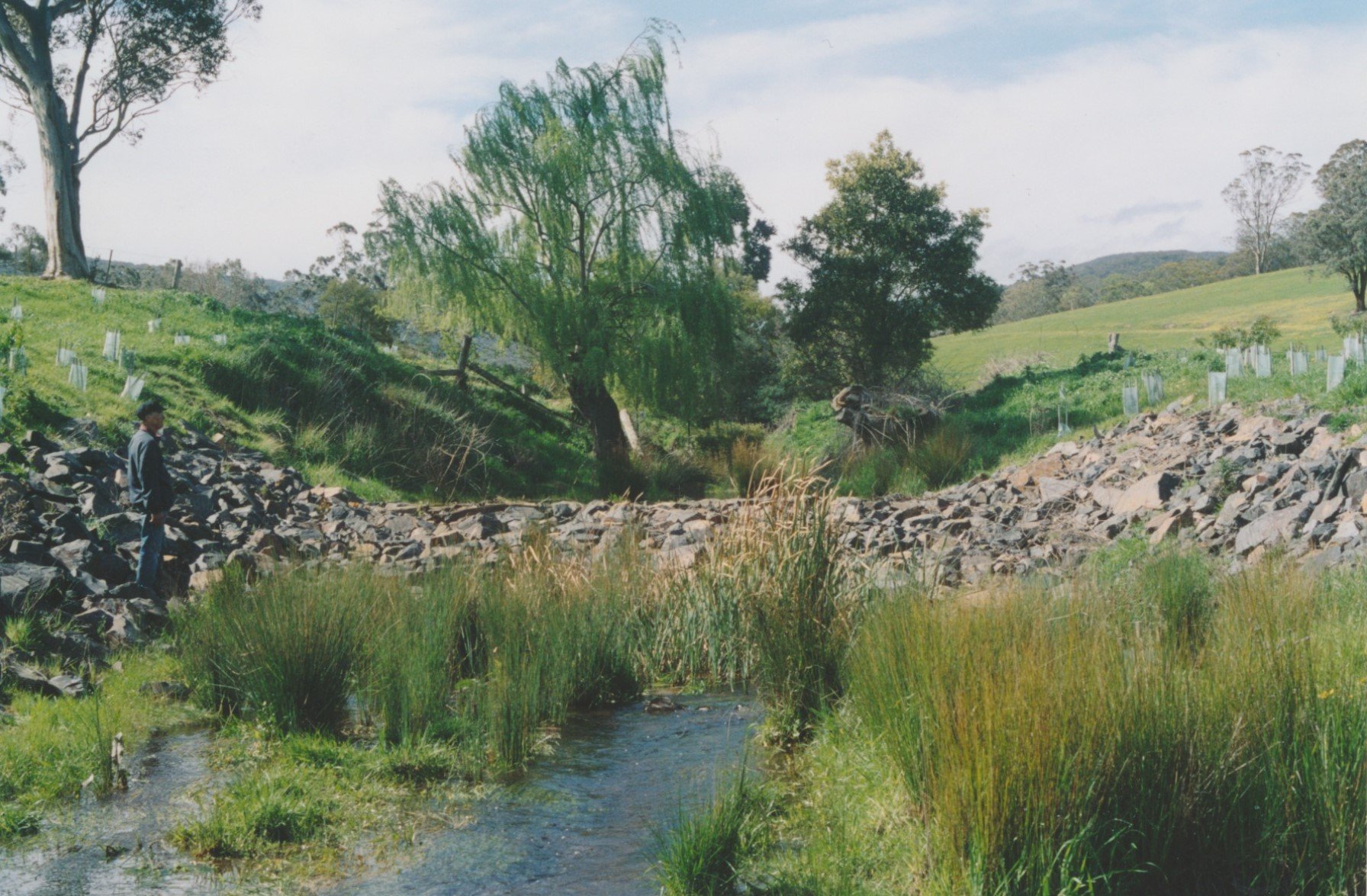
Soon after Gellibrand’s visit, ‘Arthur and Connelly were reported to have a flock of a thousand sheep at Arthurs Creek, a run he is said to have held until 1841 when he purchased another at Mt Macedon’. Henry Arthur was the former Collector of Customs at Launceston and a nephew of Lieutenant-Governor George Arthur of Van Diemen’s Land. He built his Arthurs Creek homestead on the west bank of the Arthurs Creek (now Diamond Creek) below the site of the Nillumbik lagoon and present township of Diamond Creek. The stream flowing through his run to the Yarra River became known as Arthurs Creek. The name was later changed to Diamond Creek (sometime after 1850). Diamond Creek was originally the name given to the stream flowing through Queenstown (St Andrews). Today the Arthurs Creek joins the Diamond Creek at Hurstbridge.
Sheep were brought across from Launceston as fast as the available ships would permit. By the end of 1836 there were 50,000 sheep in the Melbourne district. In December 1836, ‘the first overlanded herds of cattle arrived, in charge of Joseph Hawdon, John Gardiner and Captain Hepburn’. The ‘influx of people was rapid and uninterrupted’.


0 Comments